Image

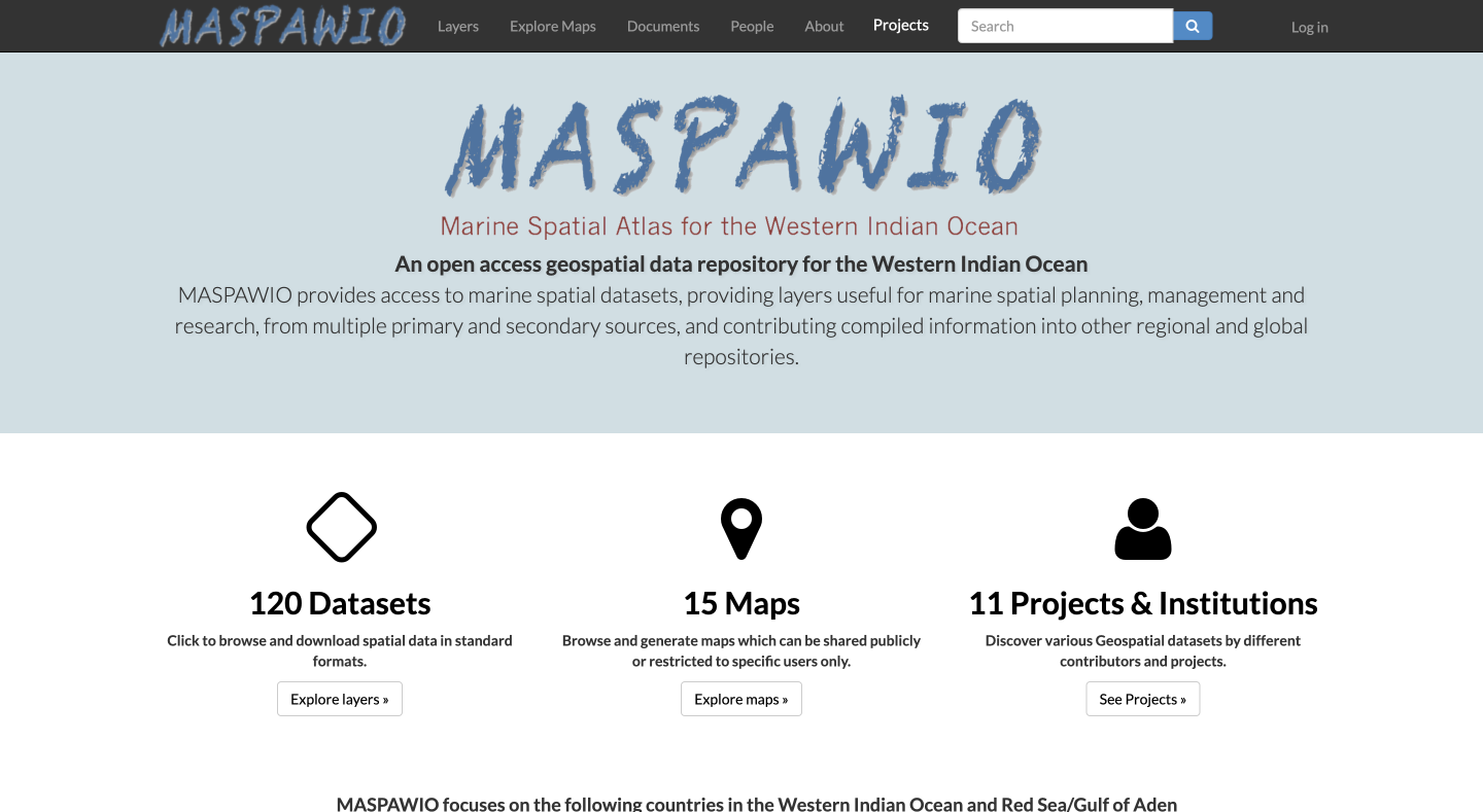
An open access geospatial data repository for the Western Indian Ocean
MASPAWIO provides access to marine spatial datasets, providing layers useful for marine spatial planning, management and research, from multiple primary and secondary sources, and contributing compiled information into other regional and global repositories.

